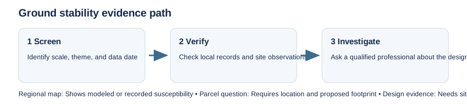
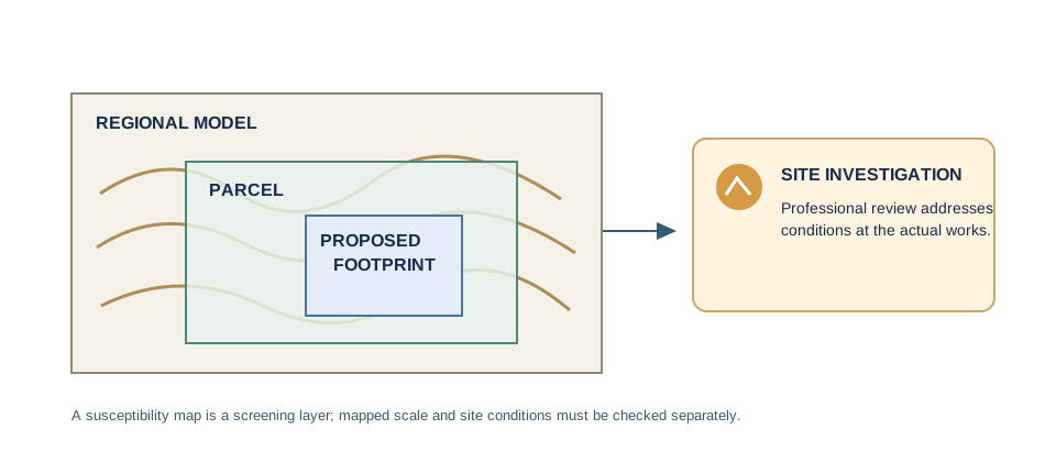
Ground-stability maps describe geology, mapped events, or modeled susceptibility at a stated scale. They do not report the soil below a proposed foundation. Before relying on a result, record its coverage, scale, publication date, theme, and whether it maps observed features or modeled potential.
The USGS national landslide product combines an event inventory with a regional susceptibility model; inventory gaps and model resolution limit parcel conclusions. State portals can add local records for karst, expansive soil, mines, liquefaction, or known landslides, but their source dates and mapped feature definitions differ. A blank screen is not evidence that an underground cavity, old mine, or unstable slope is absent.
In Great Britain, BGS GeoSure is a 1:50,000 geological susceptibility dataset covering six ground-movement themes. Its separate Property Subsidence Assessment models shrink-swell susceptibility at building polygons in England and Wales. Neither product is a building diagnosis or a substitute for the project-level geotechnical information used to design foundations. Canada’s national permafrost map is a regional 2010 edition; it does not show current thaw stability at a lot.
Move from screen to site evidence
If a mapped feature, steep slope, visible movement, mine history, or planned excavation raises concern, ask the local authority which study it expects and use a qualified geotechnical or structural professional. A site investigation should match the proposed footprint and design; a postcode average or regional score cannot do that. Keep the map result, product edition, property identifiers, and professional findings together.
See the Great Britain ground-stability guide for the BGS product distinction, and the coal-mining checks for a separate permit route.