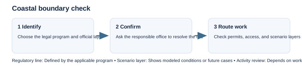
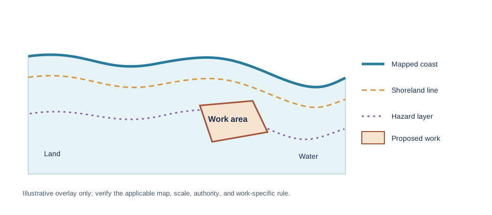
“Coastal” is not one boundary or one permit. A shoreline image, sea-level scenario, tsunami evacuation layer, coastal-erosion line, shoreland classification, and legal coastal-zone map answer different questions. Find the instrument and office that govern the parcel and the proposed work before using a distance or buffer.
Identify the boundary source
Start with the local plan and the state, provincial, or national coastal program. California’s Coastal Commission publishes a Coastal Zone boundary and Local Coastal Program areas; the Commission and a local government may have different roles within the mapped area. In Hawaiʻi, the Special Management Area is administered by county authorities, and the SMA permit is an early development review within that system. Great Lakes shoreland classes, dune areas, erosion-control lines, and state coastal zones follow their own maps and rules.
For a U.S. Coastal Barrier Resources System check, use the U.S. Fish and Wildlife Service’s official maps and validation tool. Its digital boundaries approximate the controlling sheets and must not be used alone to decide federal financial-assistance eligibility; request an official property determination when that status matters.
Keep scenarios and access rights separate
A NOAA sea-level-rise or tsunami viewer can show a planning scenario, not an adopted permit boundary. Public beach access, shoreline setbacks, and erosion management can also be governed by separate laws and recorded rights. A visually close line does not prove a parcel is inside or outside a regulated area.
Give the authority the parcel identifier, survey, activity, and proposed footprint. Ask which map edition or legal description controls, who confirms the site boundary, whether a written determination is available, and which local permits follow. Record the answer and date; do not infer a universal coastal setback or building ban. Flood probability and future scenarios are covered in the site hazard overview.