Environmental records can point to a past use, release, cleanup, or unresolved issue worth checking before selecting an ADU location. No single database covers every property or contaminant. Start with the parcel and its history, search the records maintained by the responsible programs, then read the underlying documents before deciding whether a site assessment is warranted.
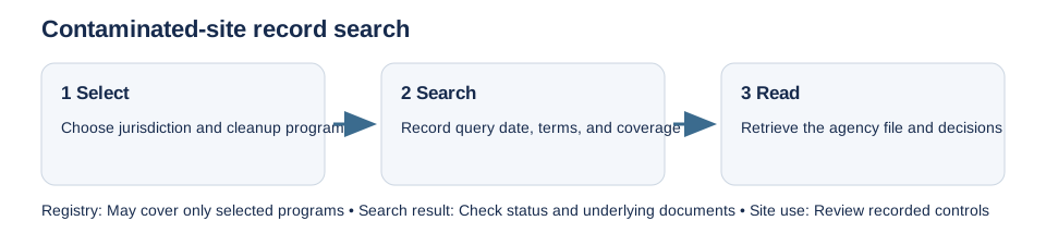
Search the systems that match the location and program
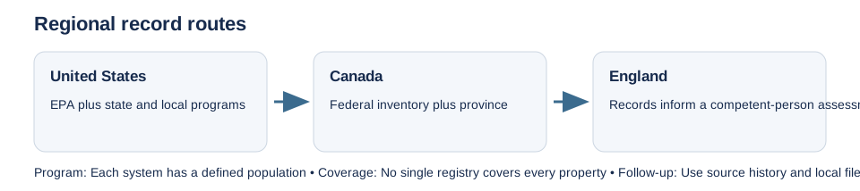
- United States: EPA’s Cleanups in My Community covers sites and properties for which EPA collects information through specified programs; it does not include every state or local cleanup. A facility in the Toxics Release Inventory (TRI) is a reporting lead, not proof that a release reached the property or presents a health risk. TRI excludes facilities and chemicals below its reporting criteria. EPA’s RCRAInfo Search is a separate route for facilities regulated under RCRA Subtitle C; its handler, permit, closure, compliance, and cleanup records are not a comprehensive contaminated-land inventory. Washington offers both map-based and text cleanup searches and directs users to the program responsible for the record; those programs include state cleanup, federal Superfund, spills, hazardous waste, nuclear waste, and solid waste.
- Canada: The Federal Contaminated Sites Inventory covers sites within federal custodianship or accepted federal financial responsibility, not all contaminated land in Canada. Search provincial and territorial sources separately. In British Columbia, the provincial route can start with iMap to find a Site ID and continue through BC Registries for a Site Details Report and underlying documents; a missing entry is not a clean-site finding. Alberta’s former Environmental Site Assessment Repository (ESAR) is discontinued. Use the current Environmental Records Viewer, Alberta Energy Regulator records, and other routes that match the regulator and activity.
- England: Public planning and environmental records can inform the desk study, but they do not establish contamination or acceptable risk. Government Land Contamination Risk Management guidance starts with a Tier 1 preliminary risk assessment completed by a competent person. It includes objectives, desk study, site walkover, an initial conceptual site model, contaminant linkages, qualitative assessment, and a report recommending next steps. More detailed or intrusive work may be needed if uncertainty remains.
Interpret a search result as a lead
Record the database, search terms, parcel identifiers, search date, data vintage, and any site boundary shown. Check the record’s program, status, contaminants, investigation and cleanup documents, and whether the mapped point or area is official. EPA warns that Cleanups in My Community boundaries are not official legal boundaries and that update schedules vary. A missing point can reflect program scope, data age, or location limits; it does not demonstrate that the land is uncontaminated. A completed cleanup record also needs its actual decision documents and any continuing conditions.
Do not equate a TRI quantity, a registry point, or a grant boundary with exposure at an ADU site. If past use, a record, site observations, or the proposed excavation creates a plausible concern, ask the environmental regulator and a competent environmental professional whether a preliminary or more detailed assessment is appropriate. Keep contamination assessment distinct from zoning, building approval, and the private title search.
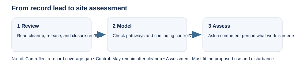
Follow regional records to the underlying controls
A provincial or state registry can have important coverage gaps. Manitoba says its Contaminated Sites Registry is not comprehensive and directs users to a separate Environmental File Search. In California, DTSC’s EnviroStor and the Water Boards’ GeoTracker cover different programs and records; check the agency file when older documents matter. Oregon moved ECSI information into Your DEQ Online and warns that records can be incomplete, outdated, or unconfirmed.
A cleanup decision can also leave land-use controls after physical work is complete. Read the decision, deed notice, or recorded instrument and identify any institutional controls or engineering controls that affect disturbance or occupancy. A registry status or “completed” label is not a substitute for those documents. For oil and gas wells or mine records that are separate from cleanup sites, see the mine and legacy-well record guide.
This guide identifies record routes, not the condition of a particular property. Confirm current systems and obtain site-specific professional advice where the facts warrant it. For parcel matching and authority routing, see how to identify the parcel and governing authority.