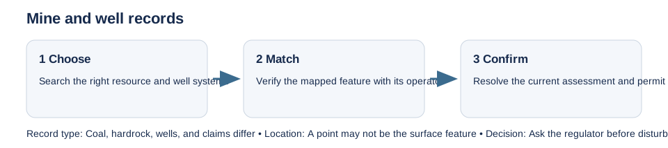
Mine and well maps are separate record systems. A coal-mining search will not find every hardrock mine, mineral claim, oil or gas well, or abandoned borehole. Search the records suited to the region and activity, then confirm any possible match against the original record and land manager.
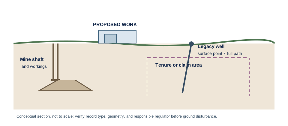
In the United States, USGS says the USMIN abandoned hardrock-mine inventory is still being assembled and is not a comprehensive national inventory. State or Tribal mines, historical reports, and local well records may be needed. Pennsylvania’s legacy-well information and New York’s well and lease resources are different routes; a plotted location may be approximate or incomplete. BLM’s Mineral and Land Records System helps search federal land and mineral records, but a claim entry does not prove surface ownership or an ADU right.
In Alberta, check the current abandoned-well and development-permit process under AER Directive 079. Older well records may be absent or mapped imprecisely, so ask the regulator how to identify and verify a well before design or excavation. A registered lease, access agreement, or easement may also affect the property and belongs in the title-document review.
Confirm the consequence before work
Record the feature identifier, coordinates, record date, land manager, and proposed ground disturbance. Ask whether the map represents a shaft, surface hole, bottom-hole, mineral tenure, or inferred area; then ask which report, clearance, setback, or permit applies to the exact activity. Do not use a national no-hit as proof of clean ground, and do not infer a universal distance. England, Scotland, and Wales have a distinct Coal Authority workflow described in the coal-mining guide.