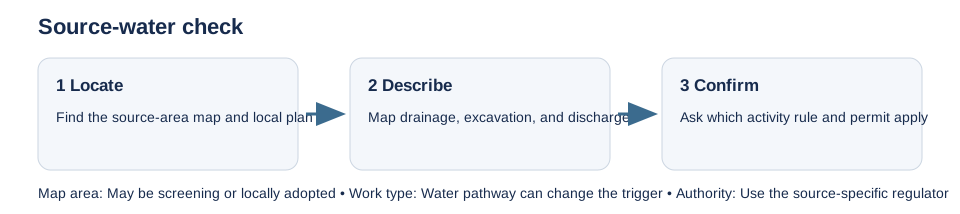
Source-water and aquifer maps identify places where land uses or activities may need extra review to protect a drinking-water source. The designation, map scale, and authority differ by jurisdiction. First identify the source system and the local rule that gives the map its effect.
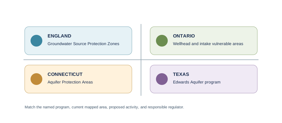
England’s groundwater source protection zones are modeled around abstractions used for domestic supply or food production. The Environment Agency provides them as a screen; a zone alone does not decide whether a particular soakaway, discharge, excavation, or chemical use needs an environmental permit. Ontario source-protection plans use locally defined vulnerable areas and policies, while Connecticut’s Aquifer Protection Areas use mapped zones and municipal implementation. Texas’s Edwards Aquifer program is limited to its regulated zones and activities.
Ask about the activity, not only the building label. A new septic system, infiltration device, fuel tank, soil disturbance, or change in drainage can raise a different question from a small structure with no change to water services. Provide the parcel and drainage plan and ask which boundary, policy, permit, or technical review applies. Check the local plan and current authority records where the map is approximate or older.
A vulnerability score or protection-zone hit is not a parcel permit decision, and a blank map does not prove that groundwater safeguards are irrelevant. Keep the source, map date, activity, and response together. For the England-specific route, see source-protection-zone checks.