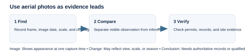
Historical aerial photographs can show visible site changes worth checking: a former structure, disturbed ground, a filled area, a changed watercourse, or a tree line. They are observations, not proof of a parcel boundary, lawful use, contamination, or current site condition.
Find the frame or image footprint and record the capture date, scale, source, resolution, coverage, and access or licence terms. Upload dates and catalogue dates are not necessarily image dates. National archives may have uneven coverage by year and region; some images are scans or previews, and detailed retrieval may require a request. Use the current archive instructions for Canada’s National Air Photo Library, USGS EROS single-frame photography, or the England Environment Agency collection.
Compare images only when the capture dates and viewing conditions support it. Differences in season, camera angle, scale, shadows, or georeferencing can make a feature appear to move or disappear. Keep the original frame reference and note what you observed separately from what you infer.
If an image suggests a historic use or disturbance, follow it to the planning file, permit history, environmental registry, heritage authority, or qualified site visit. Do not label a feature as a spill, illegal building, archaeological site, or exact boundary from appearance alone. Aerial photos provide a lead for due diligence; the relevant record holder or professional must confirm what it means.